
The Great Trossachs Forest Path
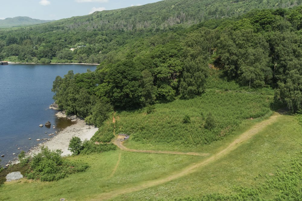
The Great Trossachs Path, one of Scotland's Great Trails, is a 30-mile route running between Callander in the east to Inversnaid and Loch Lomond in the west. It passes through Brig o’ Turk, the Loch Katrine area, and Stronachlachar and takes in spectacular scenery, loch shores, craggy hill slopes and mature woodlands full of wildlife and rich in history.
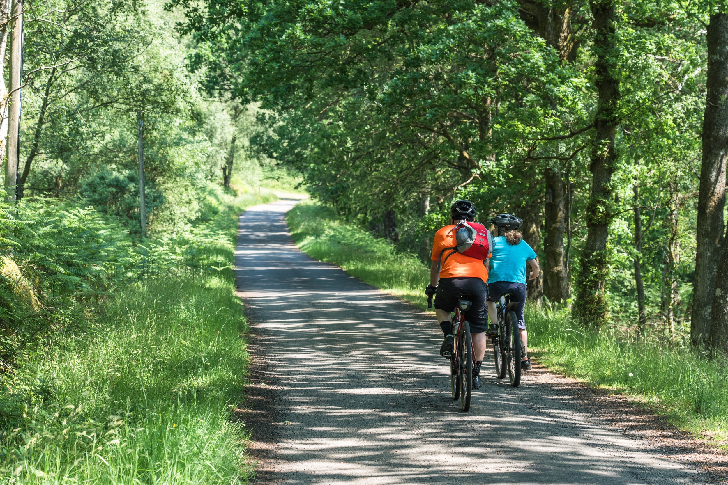
The path connects the Rob Roy Way with the West Highland Way and also links to the Three Lochs Way, so long-distance walkers can undertake an extraordinary journey across the centre of Scotland. But it’s also accessible to cyclists (connecting, among others, with the NCN 7), and has numerous smaller walks, which should appeal to families, or those just looking for an amazing place to take a weekend stroll
Camping & Accommodation
There are currently no designated campsites along The Great Trossachs Path and some sections are subject to the new Camping Byelaws (you can wild camp outside the byelaws management zones). Hostel facilities are available in Callander (Bridgend Hostel) and Inversnaid (Bunkhouse).
The Great Trossachs Forest Path
At a glance:
Length: 30 miles (48 km).
Start/finish: The Great Trossachs Path starts/finishes at Callander/Inversnaid (on Loch Lomond).
How to get there: Regular public buses depart from Stirling to Callander; trains and buses depart from Glasgow to Tarbet, where a boat bus service operated by Cruise Loch Lomond crosses Loch Lomond to Inversnaid.
Follow the T-tree signs to stay on The Great Trossachs Path!
Each section of The Great Trossachs Path is slightly different. Here are some highlights:
-
Inversnaid Pier to/from RSPB Inversnaid/Garrison Farm Visitor Gateway
Distance: 1.2 miles/2 km
Description: Passing by the beautiful Arklet falls which have been an inspiration to many poets, this section of The Great Trossachs Path offers stunning views over Loch Lomond. The RSPB Visitor Gateway provides local information as well as a public toilet.
Terrain: The path is narrow with steps and some boggy sections. There is a small section on the public road. Cyclists are advised to use the public road for this section of The Great Trossachs Path.
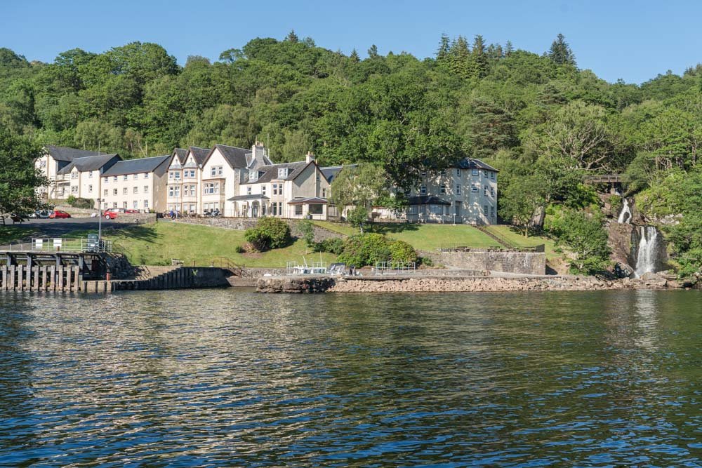
Refreshments: Inversnaid Hotel, Inversnaid Bunkhouse and the Kelly Kettle Tea Room.
-
RSPB Visitor Gateway to/from Stronachlachar
Distance: 3.8 miles/6 km.
Description: Walking along the rugged open hillside is an exhilarating experience. This is one of the newest sections of the woodland corridor within The Great Trossachs Forest NNR.
Terrain: A well-made path. There are a couple of very short but steep sections.
Refreshments: Kelly Kettle Tea Room next to the Visitor Gateway and the Pier Cafe at Stronachlachar.
-
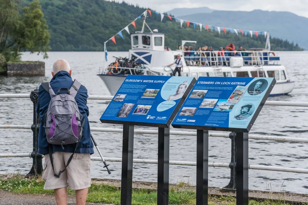
Stronachlachar to/from Trossachs Pier
Distance: 12.4 miles/20 km.
Description: This stunning lochside journey has inspired artists and writers for hundreds of years. The story of this landscape continues today with a new forest at the heart of major landscape-scale nature restoration work.
Terrain: tarmac single-track road along the lochside.
Refreshments: the Pier Cafe at Stronachlachar and the Steamship Cafe at Trossachs Pier.
-
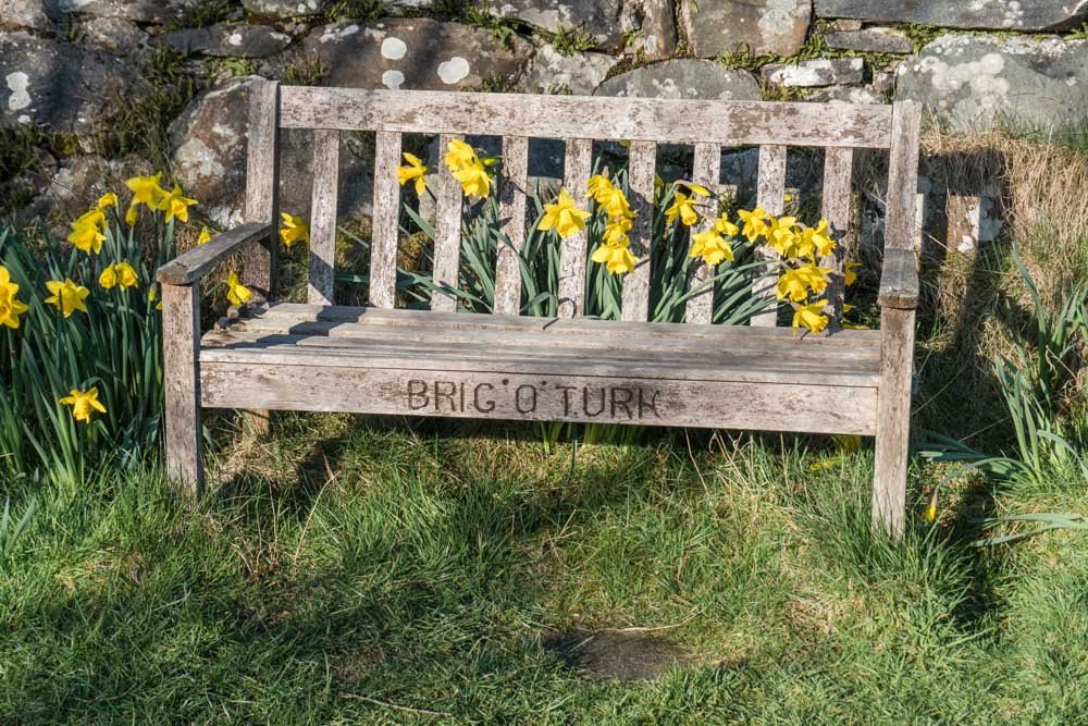
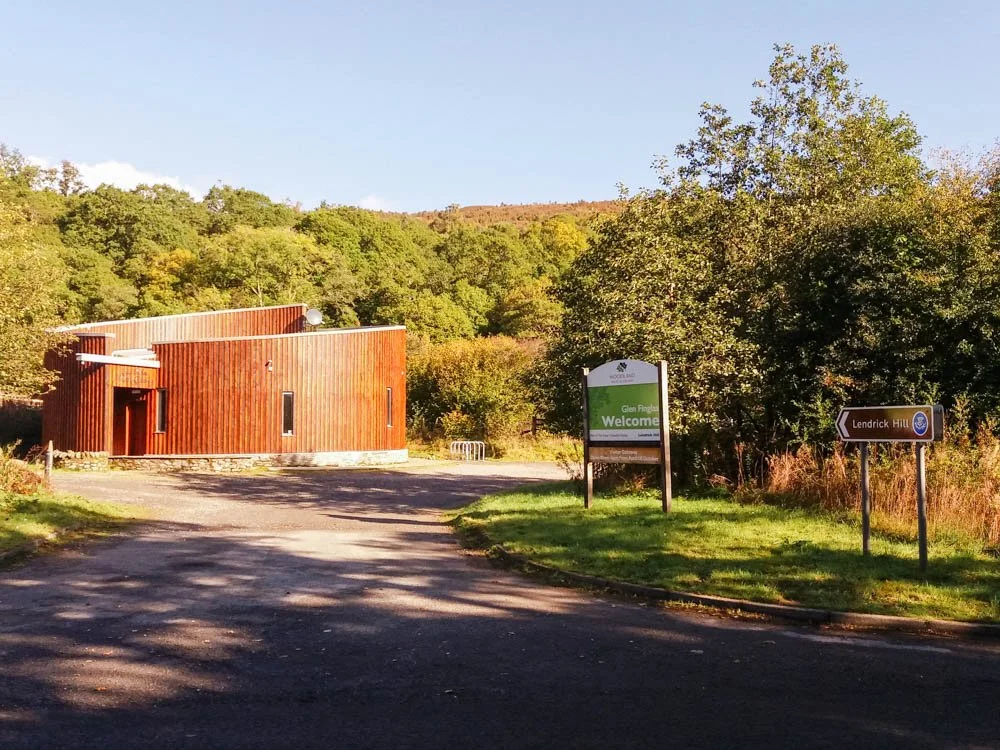
Trossachs Pier to/from Glen Finglas Visitor Gateway, near to Brig o’ Turk
Distance: 6 miles/9.7 km
Description: Woodland and the picturesque village of Brig o’ Turk offer plenty of variety along this section.
Terrain: Mostly on forest tracks with short sections on roadside pavements and a narrow boardwalk.
Refreshments: Steamship Cafe at Trossachs Pier, Achray Farm for an ice cream, the Byre Inn at Brig o’ Turk, or the Brig o' Turk Tea Room.
The Glen Finglas Visitor Gateway provides local information as well as a public toilet.
-

Glen Finglas Visitor Gateway, near Brig o’ Turk to/from Kilmahog
Distance: 5.4 miles/8.6 km.
Description: Passing through ancient woodland, open hills, and newly emerging trees- there is so much nature to experience along this section.
Terrain: Well-made off-road path for the whole section. If cycling, take care as there are some short steep sections.
Refreshments: The Byre Inn or Brig o' Turk Tea Room in Brig o’ Turk or The Lade Inn at Kilmahog.
-
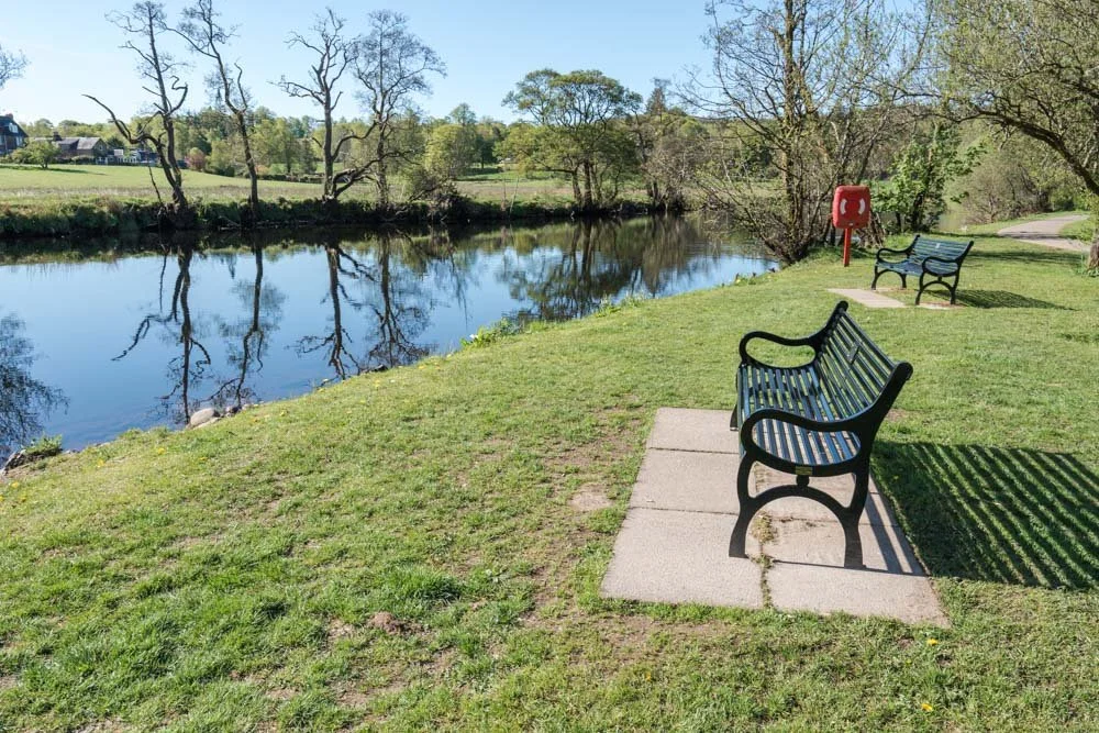
Kilmahog to/from Callander
Distance: 1.2 miles/2 km
Description: This section follows the old railway line from Callander and passes through farmland and the outskirts of the town.
Terrain: Mostly tarmac- following the old railway line.
Refreshments: The Lade Inn, Kilmahog. Numerous options in Callander.